Provide a baseline, elements of analysis, and recommendations on the integration needs of refugees and migrants and the aspects of prosperity of cities to promote the right to the city for everyone, through access to basic services, housing, employment and education opportunities, within the existing legal and policy framework.

The human mobility profile in the city aims to provide the local government with a baseline of population (social, economic and cultural), territorial (access to infrastructure, services, facilities and environmental quality) and governance conditions, and to identify vulnerabilities, potentials, and gaps in access to the right to the city for the refugee, migrant and host population communities.
This profile has been constructed based on the information gathering and analysis methodologies of the agencies implementing the initiative, and below are the results obtained for the city:
– Bucaramanga Territorial Characterization.
– Migration Governance Index for Bucaramanga.
– High Frequency Survey (HFS).
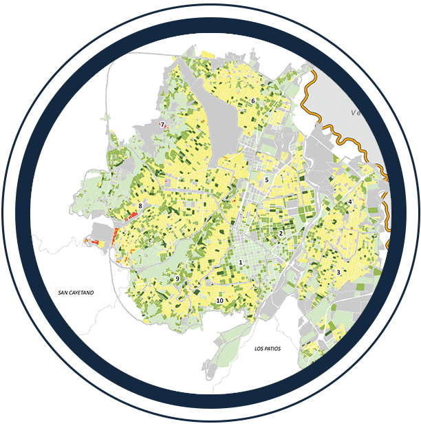
The viewer is a geo-referencing and territorial / socioeconomic data instrument of the city that provides strategic information for the formulation of policies / plans / programs / projects and seeks to be a tool that promotes transparency in public management, accountability, and citizen participation.

What is it? It is an instrument for georeferencing the spatial and socioeconomic indicators of the city.
What purpose does it serve? It shows strategic information for the formulation of policies / plans / programs / projects and seeks to be a tool that promotes transparency in public management, accountability and citizen participation.

What is it? It is a barometer that provides information about the condition of the 6 dimensions that make up urban prosperity in a city.
How is it measured? With a range from 0 to 100, the marker makes visible those conditions that contribute to territorial prosperity. This measurement is developed from the indicators of the Urban Prosperity Index that reflect access to rights and opportunities in the city.

¿What is it? It is a tool that makes it possible to visualize the potential for integration that territories present in relation to the distribution and location of prosperity conditions encompassed in five key areas: 1) affordable, quality housing with services, 2) employment and economic opportunities, 3) access to health, 4) access to education, culture and diversity, and 5) access to public spaces, safety and recreation.
¿What is it for? The tool makes visible the current capacity of integration without discrimination to the benefits of living in a city.